BARRIER MITIGATION
BARRIER MITIGATION
Ontario Streams leads many forms of habitat enhancement work throughout aquatic systems in the Greater Toronto Area. During the field season, we mitigate barriers, both human-made and natural, within rivers to help improve fish passage and protect infrastructure. Natural in-stream barriers are important in shaping fish communities and are beneficial to aquatic ecosystems by providing increased cover, encouraging habitat density, and promoting the formation of pools and habitats. Unnatural in-stream barriers such as concrete dams, culverts, and hardened channels physically impede fish migration, while reservoirs and online ponds can act as thermal barriers to certain fish communities by altering downstream temperatures.
WOODY DEBRIS MANAGEMENT
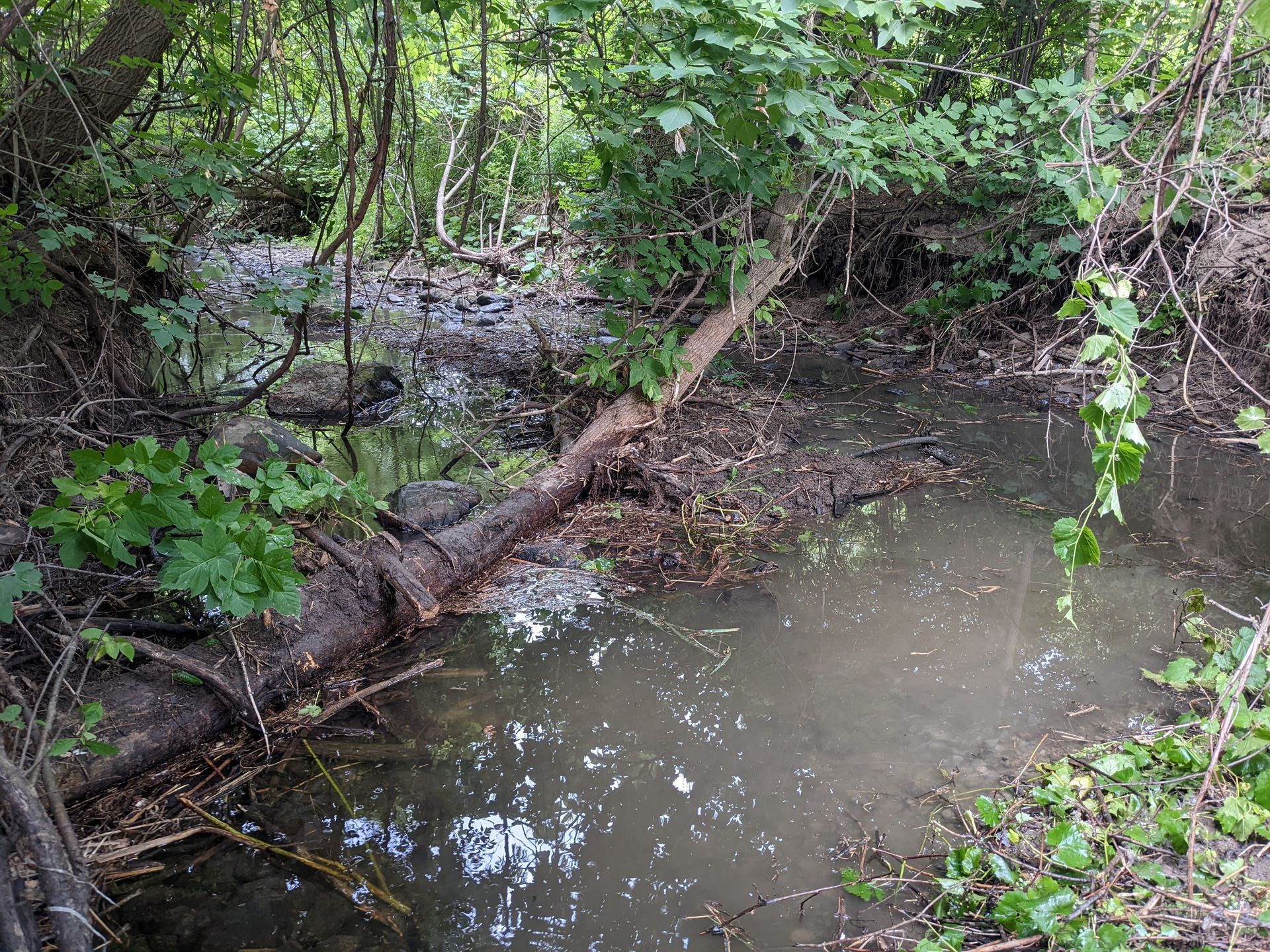
In regions with significant urban development, woody material can create blockages in our rivers after significant rain events. When large amounts of water runoff our city streets, sidewalks, and parking lots, this high volume of water runs over the natural landscape and carries twigs and branches into rivers. Once in the rivers, they create blockages and can collect litter and sediments. These blockages can prevent fish from passing and become a threat to human infrastructure such as pathways and bridges. At Ontario Streams, we carefully dismantle woody debris blockages to avoid releasing excess sediments into the river and collect litter that we find. We place the woody material on land far from the river to prevent these twigs and branches from re-entering the river during the next large rainfall. Check out this video to see how we mitigate woody debris blockages!


HAMILTON HARBOUR INITIATIVE
The Hamilton Harbour watershed covers an area of approximately 500 km2 at the western edge of Lake Ontario. The watershed can be divided into four subwatersheds which drain into Hamilton Harbour and include: Spencer Creek, Grindstone Creek, North Shore, and Redhill Creek. Hamilton Harbour is listed as an environmental Area of Concern but this region continues to support diverse fish communities and offers unique aquatic habitats to both migratory and resident fish species. The Hamilton Harbour Watershed Barrier Assessment initiative was undertaken by the Ontario Ministry of Natural Resources and Ontario Streams in 2006. 140 barriers within the watershed were originally observed and documented.
By 2008, 369 natural and human-made barriers within the Hamilton Harbour Watershed had been identified and assessed. Priority barriers within the watershed were recognized and Ontario Streams and our partners identified Spencer Creek as a priority for mitigation. This stream contained nine barriers that were blocking the upstream passage of non-jumping fish species between Cootes Paradise and the Niagara Escarpment.
Historically, more than 96 fish species were found in Hamilton Harbour; currently 84 fish species are present (13 of which are considered introduced or invasive). The Hamilton Habour Fisheries Management Plan and the Spencer Creek Watershed Plan both emphasize the need to improve access to suitable spawning and nursery habitat for migratory species and recommend removing barriers to fish passage to improve aquatic health. Without in-stream barriers on Spencer Creek, fish would be allowed to move freely throughout the system, promoting natural recolonization in the upstream 7 km of Spencer Creek and Spring Creek (below the Escarpment).
Accomplishments:
- An assessment and project report were finalized in 2009 on the barriers in the Hamilton Harbour watershed including recommendations for future priority barrier mitigation sites.
- A database was compiled consisting of all the barriers identified and assessed in the Hamilton Harbour watershed with measurements, site attributes, and photos.
- Digital maps were created identifying the location of each barrier by barrier type within each subwatershed.
- The first barrier on Spencer Creek at Osler Drive was mitigated through the notching of a concrete weir and completion of a rocky ramp structure.
- A study was started to develop mitigation options for the additional 8 barrier sites on Spencer Creek located upstream from the lowhead weir at Osler Drive.
